Human Earth Lab

Landscapes remember human activity

We read the long-term impact of human activity in soils and sediments.

We investigate traces of settlement, agriculture, production, waste and environmental change.

6research sites with dedicated profiles
3main regions: Central Europe, Southern Levant and Central Asia
Field → Labfield context connected directly with laboratory measurement
Data → Meaningspatial analysis, statistics and historical interpretation

Research framework

Questions that connect our sites

The projects differ in environment and chronology. They are linked by a shared aim: to explain the processes that left measurable records in soils, sediments and landscapes.

01

How does human activity become recorded in soil?

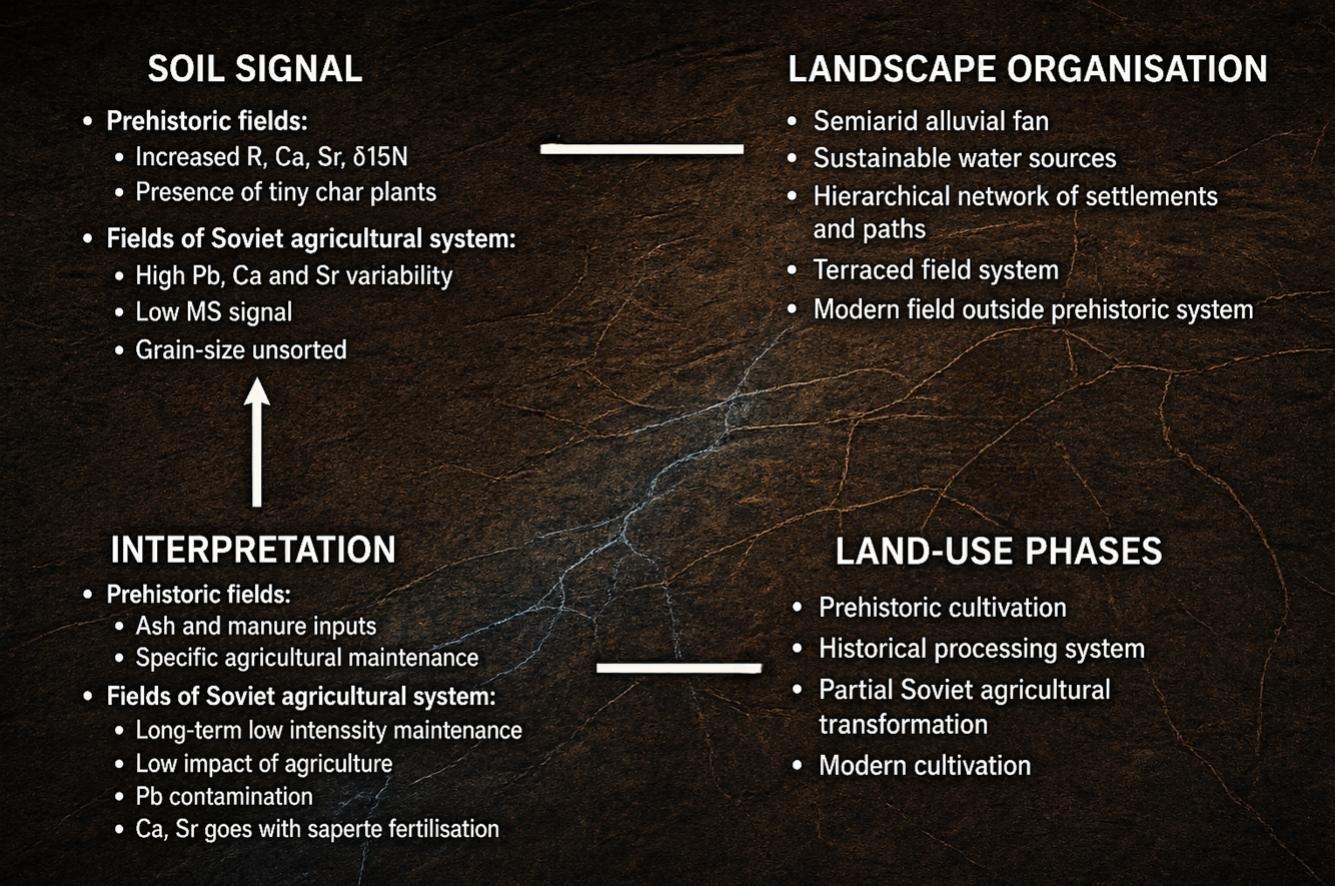
We distinguish signals of settlement, waste, production, farming, construction materials and post-depositional processes.

02

How do people–landscape relationships change through time?

We trace long-term effects of land management, settlement abandonment, erosion, vegetation recovery and changing water regimes.

03

How can different lines of evidence be integrated?

Field stratigraphy is combined with geochemistry, isotopes, micromorphology, spatial data and historical sources.

Research sites

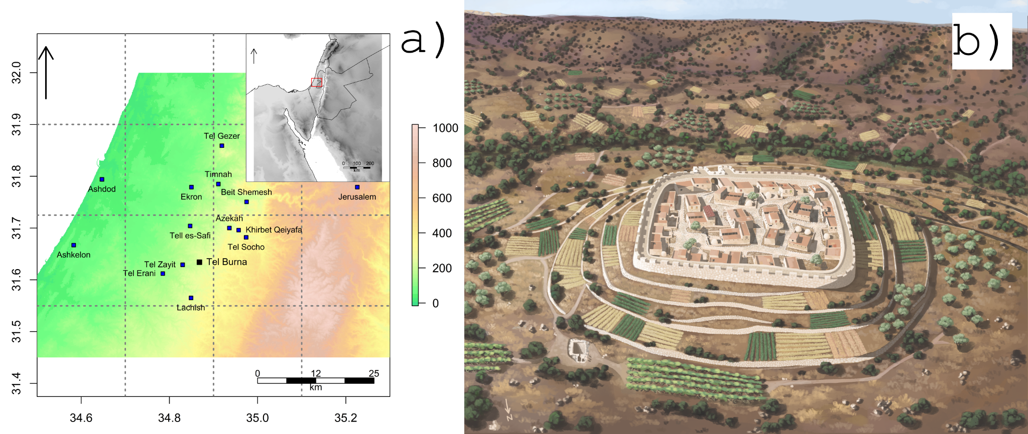
Human Earth Lab map

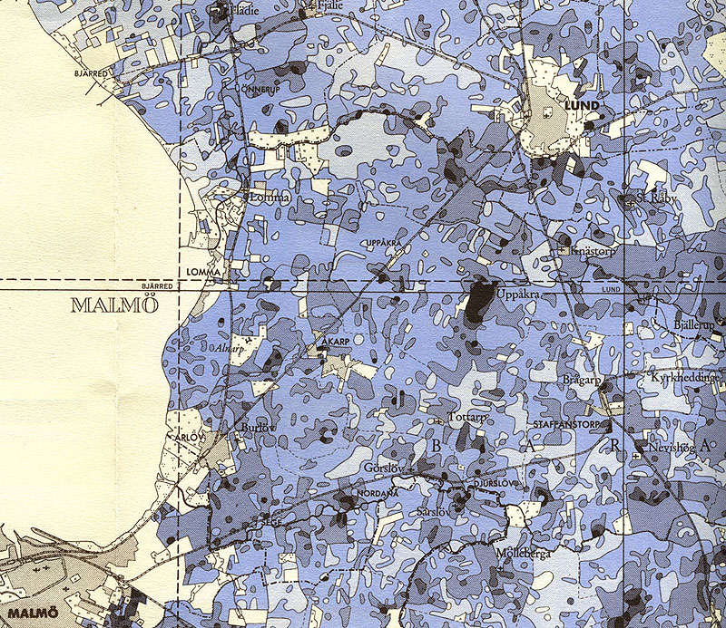
The map connects the laboratory’s main research sites. Click a point to open the profile of a specific site.

Research sites

Click a point to open the site profile.

Methodological workflow

From landscape to interpretation

The same analytical chain makes very different archaeological contexts comparable.

01Landscape

Context, geomorphology, sources, maps and the research question.

02Sampling

Stratigraphy, profiles, transects, grids and control samples.

03Laboratory

Geochemistry, isotopes, grain size, micromorphology and other proxies.

04Data

Statistics, GIS, spatial modelling and reproducible workflows.

05Interpretation

Processes, time, human action and broader landscape context.

People

An interdisciplinary team

Human Earth Lab connects archaeology with geoarchaeology, geochemistry, isotope analysis, historical geography and spatial data.

archaeologygeoarchaeologygeochemistryisotopesGIShistorical sources
Head of the laboratory

Martin Janovský

Coordination of research sites, field sampling, analytical workflows and interpretation of results.

Meet the team

Current work

Now

Field notes and current research

Short updates from the field, laboratory, projects and writing. Selected updates are tagged #HELnow and loaded from Bluesky.

Collaboration

From archaeological questions to transferable methods

We collaborate on field projects, laboratory analysis, long-term soil and landscape research, and methodological development for interdisciplinary applications.