

Soils and sediments
Archaeological soils, colluvia, occupation layers, fills, dark earth and buried horizons preserve multiple layers of information.
Research programme
We study how long-term relationships between people and landscapes become recorded in soils, sediments and spatial structure.
Archaeological context is connected with geochemistry, isotopes, historical sources and spatial data.
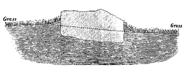
How we read landscape
Before moving to sites and methods, see how Darwin, Arrhenius and Třebokov shape our view of landscape.
How we read landscape →EXPLORE HUMAN EARTH LAB
All detailed content below is retained. This layer simply shortens the path between question, site, method, result and data.
Research framework
Human Earth Lab does not treat soil and sediment simply as material for analysis. They are archives of processes that can be read together with archaeology, landscapes and historical sources.
Archaeological soils, colluvia, occupation layers, fills, dark earth and buried horizons preserve multiple layers of information.
We ask how settlement, agriculture, production, waste, erosion and other processes create measurable signals.
Results are linked with stratigraphy, spatial data, historical maps and other independent sources of evidence.
Core questions
Individual projects differ in environment and chronology, but return to the same fundamental problems.
We distinguish signals of settlement, waste, production, agriculture, construction materials and post-depositional processes.
We trace long-term farming, erosion, settlement abandonment, vegetation change, water regimes and transformation of land use.
Field stratigraphy is connected with geochemistry, isotopes, micromorphology, GIS, historical sources and statistical analysis.
Research directions
Archaeological soils, colluvia, occupation layers, fills, dark earth and buried horizons are treated as records of past processes.
We study long-term farming, manuring, erosion, grazing, fertility and the relationship between settlements and fields.
We examine urban layers, markets, waste, faecal inputs and sediments formed by everyday life.
Elemental and isotopic signals are used to study buildings, waste, production, burial, conflict and other forms of human activity.
We combine GIS, historical maps, spatial modelling, data workflows and publication-ready visualisations.
Research Graph
A connected view traces each result from research site and question through methods to the paper, public data and the people who produced it.
How was a prehistoric irrigated farming landscape organised and maintained over the long term?
How did Urban Dark Earth form, and what traces did a medieval marketplace leave in it?
How are Dark Earth formation processes related to settlement strategy in a wet environment?
How can architecture and activity be reconstructed where stratigraphic layers are visually weak?
Can stable isotopes in soil distinguish historical land use beneath present-day forest?
How spatially variable are geochemical activity signals within a medieval manorial farm?
No research path matches the selected filters.
How interpretation is built
Stratigraphy, context and controlled sampling.
Elemental signals of human activity and materials.
Layer-formation processes at microscopic scale.
Land use, fertilisation and biological inputs.
Spatial patterns, comparison and reproducibility.
A result linked to its study, data and research site.
Scales of interpretation
Chemical, isotopic and sedimentary properties of a specific context.
Relationships among layers, features, activities and parts of a settlement.
Spatial relationships, erosion, agriculture, water and long-term land use.
Comparison of processes across occupation phases, site abandonment and later landscape development.
Connected research
The research programme is designed so that individual sites are not isolated case studies. Each tests a particular process while contributing to a shared methodological framework.
Compare different types of archaeological and landscape archives.
Explore sites →See how sampling, laboratory analysis, GIS and interpretation are connected.
How we work →Publications and other results in which methods and interpretations are tested.
View outputs →