
← Back to team
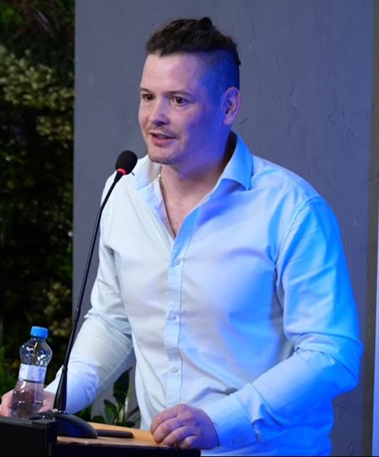
Lukáš Holata

Human Earth Lab

Lukáš Holata

Medieval landscape archaeology

Landscape archaeology · LiDAR & GISLandscape archaeology / Charles University collaboration

Department of Archaeology, Faculty of Arts, Charles University

Lukáš Holata specialises in medieval settlement, deserted villages, landscape archaeology, GIS and LiDAR-based research.

In Human Earth Lab, he contributes expertise in medieval rural landscapes, settlement development and long-term land-use systems.

Research profiles

Research focus

Medieval landscape archaeologyDeserted villagesLiDARGISSettlement systemsLong-term land use

Academic profile

Landscape archaeologist specialising in medieval settlement, deserted villages, LiDAR and GIS; contributes long-term settlement and landscape interpretation.

Current topics

Deserted medieval villages
Medieval field systems
LiDAR prospection
GIS modelling
Fluvial processes
Long-term rural land use

Methods

Selected outputs

Selected external work

Umístění a rozložení středověkých plužin z hlediska svažitosti a vertikality reliéfu (Archaeologia historica 49/2, 2024).

Selected external work

Příspěvek k možnostem studia sídelních forem a mikroreliéfu raně středověkých vesnic v lesním prostředí (Archaeologia historica 36/2, 2011).

Links are based on author contribution statements where available.